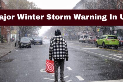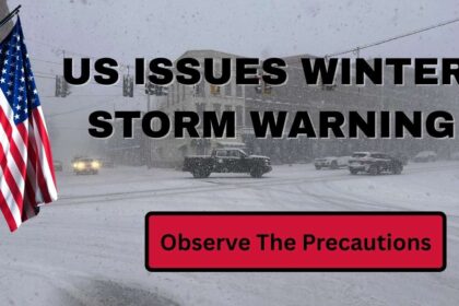

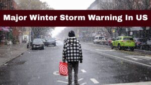
An intense Bomb Cyclone system is bringing treacherous weather to extensive areas of the United States, with forecasters warning of substantial snowfall, blizzard conditions, extreme cold, and strong winds in the upcoming days. Snow, ice, rain, and strong winds have moved across much of the nation as meteorologists cautioned that the storm could quickly intensify.
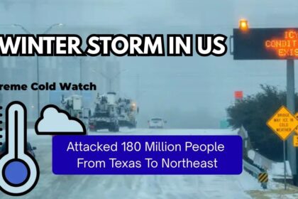
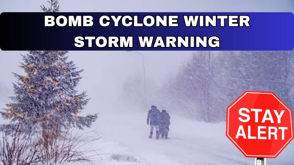
A winter system powered by a developing bomb cyclone is expected to influence the northern parts of the US. The National Weather Service (NWS) stated that hazardous conditions could span from Montana to Maine and from Texas to Pennsylvania. Heavy snowfall, blizzards, extreme cold, and damaging winds are predicted across these regions.
What is a bomb cyclone?
A Bomb Cyclone refers to a meteorological phenomenon characterised by a low-pressure system that experiences a rapid increase in size, strength, and intensity over a brief period of time. More specifically, it denotes a storm system where the central pressure decreases by at least 24 millibars within a 24-hour timeframe.

This swift escalation in strength is known as “bombogenesis.” The low pressure evolves into a sudden, severe, and often life-threatening storm. This quick drop in pressure leads to accelerated winds and intensified rainfall or snowfall within a matter of hours.
The event in November 2024 resulted in a pressure drop that exceeded twice the standard “bomb” threshold, marking it as one of the most powerful bomb cyclones in recorded history.

The storm forms when two distinct air masses collide with significant force.
Latest News
As reported by NPR, meteorologists cautioned that following initial winter weather, an Arctic front interacting with warm air could rapidly intensify into a “bomb cyclone” affecting the Midwest and Great Lakes until Monday.

A bomb cyclone, referred to as bombogenesis, is a rapidly intensifying low-pressure system that leads to severe weather conditions. Meteorologists explain that bomb cyclones can escalate quickly when cold Arctic air encounters warmer air over land or water. This interaction results in a swift drop in air pressure, which generates stronger winds.
Due to the rapid development of these storms, weather warnings can change swiftly. A standard winter storm alert can unexpectedly escalate into a significant weather event, providing communities with minimal time to prepare.

Ice, rain, and severe thunderstorms
South of the potential blizzard region, the storm will bring a diverse mix of precipitation, including rain, sleet, freezing rain, and the potential for severe thunderstorms. “An icy corridor is forecasted to emerge from the storm across various parts of the Northeast and New England,” Buckingham noted. “At this time, the zone of icing concerns is anticipated to cover northern and northeastern Pennsylvania, extending through upstate New York and into New England until midday on Monday.”
Arctic winds are driving the storm’s intensity.
Although the impacts will vary greatly from one region to another, two key features of the storm will affect everyone: the blustery winds and the cold air that will follow in the early part of the new week. Given the storm’s expected classification as a bomb cyclone, the rapid pressure changes around the storm’s centre will lead to a wide area of wind, even outside of the rain, stretching from the Midwest to the Atlantic Seaboard.
Forecasts indicate widespread wind gusts of 40 to 60 mph, which could severely disrupt air travel at major airports, including Chicago-O’Hare on Monday, and the airports in the New York City area by Monday night and Tuesday morning.