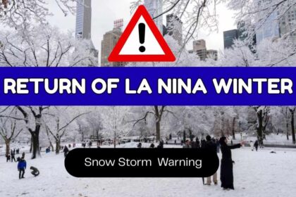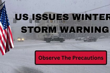
The United States will be impacted by one of its largest snow/wind weather systems currently moving through the U.S., bringing with it significant amounts of snow/ice, freezing rain (sleet) and record-breaking low temperatures in many parts of the country – from Texas through the Southern Plains to northeast coastal/New England areas.

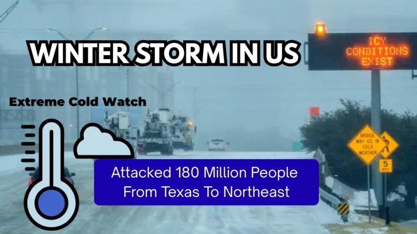
The total number of individuals affected exceeds 180 million. Meteorologists have identified this storm as “Winter Storm Fern,” which is expected to create widespread disruption across many areas within the U.S., including major delays to transportation systems (roads, railways, airfares), downed power systems (resulting from ice build-up), damaged infrastructure and everyday function.

Extent and Reach of The Storm
- The projected extent of the storm is more than 2,000 miles through Texas and New Mexico, into the Great Plains, Midwest, Southeast, Mid-Atlantic and Northeast.
- This winter weather system is predicted to influence a large portion of the U.S., possibly marking it as one of the largest winter weather events in history.
- Multiple forecasting models estimate that well over 175 million to 180 million of the population will be directly impacted by this storm.

Significant cities in the path of the storm include Dallas, Oklahoma City, Memphis, Nashville, Atlanta, Charlotte, Washington, D.C., Philadelphia, New York City, and Boston. All of these cities may receive some level of snow, sleet, ice, or record low temperatures.
What Types of Weather Effects Will Happen?
Heavy Snow and Ice

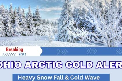
- Snow: For much of the Plains, Midwest and Northeast regions of the United States. Significant totals of snow are expected, as much as a foot in isolated areas in the mid-Atlantic region.
- Ice: Areas of the southern/eastern states have a strong possibility of taking on the form of freezing rain or sleet, leading to significant accumulations of potentially hazardous accumulations of ice on roadways, power lines and trees.
- Freezing Rain: It is possible that the areas of central/southern Texas will begin as rain and as you move into Saturday night and Sunday, change from rain to freezing rain or sleet.
Extreme Cold/Wind Chill

The arctic air mass, which is currently driving this storm system and thus resulting in these types of weather impacts on the southeastern U.S., will be extremely cold, with some regions southward, particularly areas of Texas, the northern Plains, and the Midwest, experiencing extreme wind chill values below 0°F. This will create conditions that can be life-threatening due to extreme cold temperatures/conditions.
What Is an Extreme Cold Watch?
An Extreme Cold Weather Watch is issued by the National Weather Service (NWS) if:

- Low Temperatures and windchill will drop to dangerous levels, usually very much below freezing.
- The possibility of actual bodily harm through hypothermia and frostbite exists because people and/or animals may not be properly insulated or clothed.
- Utility services, pipes, livestock, and roadways are likely to be put under severe stress from extensive exposure to cold air for extended periods.
As an example, the National Weather Service (NWS) has provided an Extreme Cold Watch for South-Central Texas/San Antonio due to the possibility of windchill values decreasing to a number below 0 °F (-18 °C). In this area, this is an unusual occurrence because they are not accustomed to long periods of arctic air masses.
These reports typically occur before the Extreme Cold arrival, usually 12-48 hours before, allowing individuals, communities, and businesses ample time to prepare and take necessary precautions.