
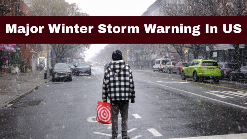
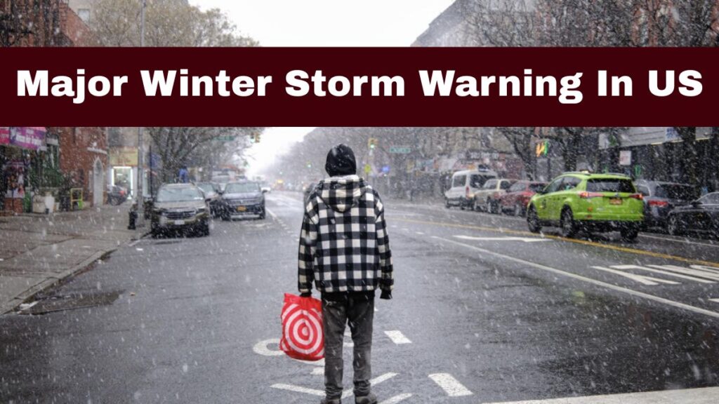
Forecasts indicate that an extensive area of the United States will be impacted by a significant winter storm this weekend, with the most concern for substantial snow, ice, freezing rain, and dangerously low temperature conditions occurring during the Sunday morning hours. Meteorologists have referred to this system as Winter Storm Fern.

Winter Storm Fern is projected to impact a large geographical area of the United States, extending from the Southern Plains through the Midwest, Mid-Atlantic and New England. This storm will result in hazardous travel and widespread disruption for millions of people living within this geographic region.
The National Weather Service (NWS) and many local meteorological offices have issued various Winter Storm Watches, Warning and Cold Weather Advisory Statements in multiple geographic areas, indicating how serious an impending weather event this is. Current forecast data indicates precipitation (especially snow) will begin falling between late Saturday night and Sunday and continue falling across some regions into the early hours of Monday morning.

Major Weather Alert For Sunday In US
Meteorologists have identified this as one of the largest and most intense winter systems created this season. A strong interaction of a moist low-pressure area and a large arctic air mass is creating a band of snow, sleet, heavy freezing rain and severe cold from the southern part of the country northeastward.
Because of the likelihood of damaging ice, very heavy snowfall and extreme wind chills, this storm is a very serious threat, and there is a potential for hazardous conditions to exist for several days into the beginning of next week. Many people may lose power due to trees falling on power lines, travel will be disrupted or will not occur at all and schools and businesses will be closed due to the weather.

Cold Weather and Extreme Cold Day In United States
As snow has begun falling, we’ll experience a massive drop in temperatures based on the movement of another Arctic air mass. The areas of the Northern Plains, Midwest and Southern US will experience Sub-Freezing temperatures and possible Wind Chill values in the single-digit to sub-zero range that can be life-threatening after extended exposure.
Extreme Cold Watches have been issued for a portion of Texas and southeast Texas due to the increased risk of hypothermia/frostbite, as well as the possibility of frozen infrastructure such as water pipes.

Regional Forecasts By Region In US
Southern/Central US
- Southern/Central US: Ice and snow with sleet, Freezing rain from Friday night until Saturday.
- Southern Plains: Ice accumulation will create very slippery and dangerous driving conditions and also potential for power outages due to ice accumulation on electrical lines and roads.

Midwest/Ohio Valley
- Heavy Snow: Upwards of 12 inches of snow may hit cities like St. Louis, Chicago and Pittsburgh, depending on the storm’s track.
- Cold Temperatures: Once the snow arrives, the temperature will be extremely low with wind chill, making it unsafe for exposed skin.
Mid-Atlantic/Northeast
- Philadelphia/Washington, D.C.: 5 to 10 inches of snow with potentially heavier amounts to the northwest and northeast of cities and freezing rain in isolated areas.
- New York City and Boston: Snow totals may exceed 1 foot by Sunday afternoon, making it the snowiest storm to hit these regions in some time.
- Baltimore/Southern New England: Snow totals from 6 to 12 inches plus are likely from Sunday morning through Sunday evening, and roads will be slippery and disrupt traffic.